- “Bringing The Past, Into the Future”
- +44 (0) 1204 388754

£15.00 ex VAT
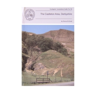
The Castleton Area, Derbyshire (1996)
by Trevor Ford
This Guide sets out to summarise both geological and geomorphological features (including caves) to be seen in a set of four day’s walk around the Castleton area. The itineraries are intended to be taken on foot although some of the itineraries can be shortened by meeting transport en route. Much of the land crossed is in the care of the National Trust and much is scheduled as an SSSI. Although hammering is not allowed, much detail of the limestone lithofacies can be seen on weathered surfaces and in scree (where fossils can also be seen)
| Weight | 250 g |
|---|
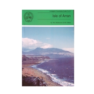
Isle of Arran (1989) 2nd Edition by W.S.McKerrow and F.B.Atkins
The large variety of igneous and sedimentary rocks to be seen on the excellent coastal and island exposures, perhaps excelling any other area in the world has made the Isle of Arran so popular with geologists. The guide has been written assuming a very basic knowledge of geology on the part of the reader. After an extensive introduction to the geology of Arran the six excursions are described together with geological sketch maps. Each excursion can be carried out in seven to eight hours with an indication of a suitable lunch stop!
1 in stock
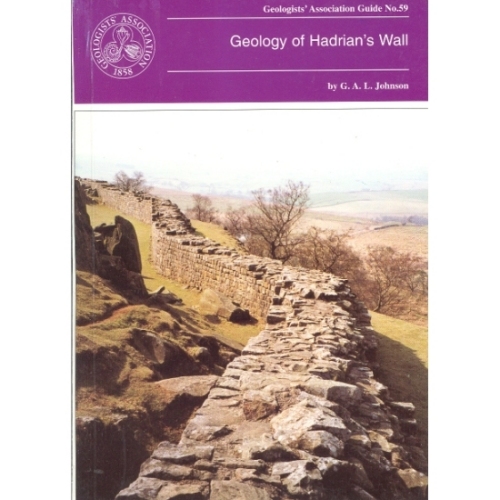
Hadrian’s Wall (1997)
Geology of Hadrian’s Wall by G.A.L.Johnson
The geology of Hadrian’s Wall falls naturally into three sectors: in the East the wall is over Upper Carboniferous Coal Measures and Millstone Grit; the Central Section is underlain by Lower Carboniferous intruded by the Great Whin Sill and in the Western sector the Wall crosses the New Red Sandstone. Glacial drift is widespread. All three sectors are described with specific sites in detail.
Out of stock
The Coastal Landforms of West Dorset (1992)
A series of itineraries illustrating the geology and denudational history along the coastline of West Dorset. This most beautiful coast is world famous for its spectacular recurrent landslides and the causes of these are fully explored together with their effects on shingle movement at beach level, the latter and best known being Chesil Beach.
Out of stock
Dalradian of Scotland
Jack Treagus (2009)
The Dalradian Supergroup of mainland Scotland occupies most of the area generally known as the Grampian Highlands, geographically bounded by the Great Glen Fault to the north and the Highland Border Fault to the south. The Dalradian of Scotland offers the greatest variety of metamorphic rocks to be found in the British Isles. There are sedimentary rocks ranging in composition from limestones and mudstones to conglomerates, often with beautifully preserved sedimentary structures providing evidence of the depositional environments.
Out of stock
An informative guide to the geology of the Stoke – On – Trent Area, published by the Geologists Association. Includes small diagrams and maps.
Out of stock
27. Geology of South Shropshire (2002) by M.Allbutt, J.Moseley, C. Rayner & P. Toghill
This new guide has itineraries grounded in a well understood and documented stratigraphy that spans all periods from Pre-Cambrian through to Triassic and covers lithologies from volcanic tuffs and lavas through fossiliferous marine and fluviatile sediments to aeolian sandstones. The authors hope to share their thrill of finding that the older classic areas of Shropshire still have the capacity to inspire.
1 in stock
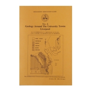
This popular guide will explain the geology of a major university town, Liverpool. A highly informative guide to a popular area.
Out of stock
The Chalk of Sussex and Kent (1997)
A comprehensive series of 8 inland and coastal itineraries extending from Lewes and the Newhaven-Brighton area , via Beachy Head, Folkestone and The White Cliffs of Dover, to Thanet illustrating the variable lithology and stratigraphy of England’s best-known and world-famous flint-bearing fossiliferous rock type. Examine the evidence for structural controls on chalk deposition, rhythmic sedimentation and transgressive and regressive events in this well-illustrated guide in which safety factors are fully considered.’
Out of stock
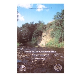
Onny Valley, Shropshire, Geology Teaching Trail (1992)
by Peter Toghill
The Onny Valley, provides a classic and famous section through the Caradoc Series and along it are exposed all the characteristic rocks varieties containing their wellknown shelly faunas. The trail guide is meant to appeal to students, ndergraduates, as well as amateur geologists. The general public will find something to interest them too, as the trail follows a beautiful wooded valley, with plenty of wildlife to see.
Out of stock
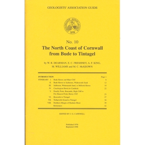
North Coast of Cornwall (1970)
The North Coast of Cornwall from Bude to Tintagel (1970)
by W.R.Dearman, E.C.Freshney, A.F.King, M.Williams and M.C.McKeown
The itineraries described in this guide have been designed to illustrate the stratigraphy and structure of a long coastal tract of Devonian and Carboniferous rocks. As some aspects of the coastal structures are to be related to granite intrusion, one itinerary deals with the northern part of the Bodmin Moor granite and its envelope.
Out of stock
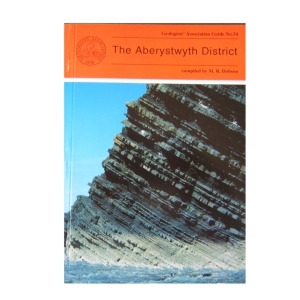
The Aberystwyth District (1995)
compiled by M.R.Dobson
The Aberystwyth Grits and Borth Mudstones (Silurian) are magnificently exposed in accessible cliffs along the coastline of Cardigan Bay and are world-famous as classic examples of turbidity current deposition. But the region is also known for the variety of its glacial landforms and modern sedimentary environments . Nineteen itineraries are described in detail, the first eight dealing with the variations in the turbidite fan succession between New Quay in th south and Harp Rock in the north. The rest cover the Dovey Estuary, the Quaternary and solid geology of Cardigan Bay and the Plynlimon area. A glossary is included.
2 in stock
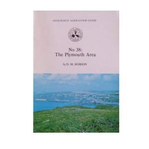
38. The Plymouth Area (1978) by D.M.Hobson
The five excursions described in this Guide are centred on the city of Plymouth, and although they are mostly concerned with Lower Devonian rocks, details of other important elements in the local Variscan geology are also included. The first three excursions deal with the stratigraphy and structure of various sections across the Dartmouth Antiform, itinerary four with the southern flanks of the Antiform and rocks of the Start Complex, and itinerary five with features exposed inland north of Plymouth.
Out of stock
Reviews
There are no reviews yet.