- “Bringing The Past, Into the Future”
- +44 (0) 1204 388754
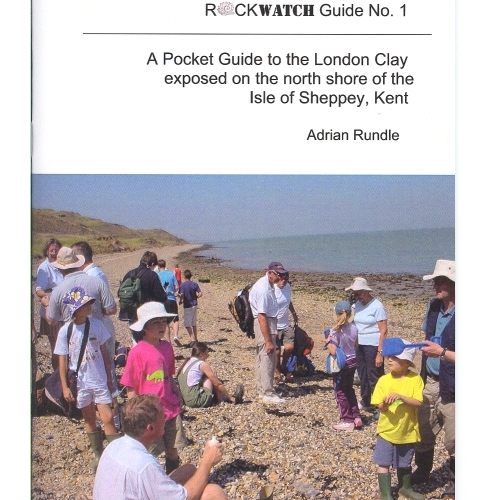
Rockwatch Guide No 1, to the London Clay exposed on the North Shore of The Isle of Sheppey, Kent. The guide is highly informative of the area and also contains clear diagrams to aid the text.
4 in stock
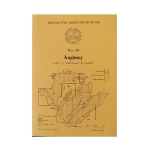
Anglesey (1981) NEW EDITION
by D.E.B.Bates & J.R.Davies
Anglesey contains a fascinating variety of rock types and geological structures, best exposed in a magnificent coastline ‘Hard rock’ and structural geology interests are catered for in Precambrian and Ordovician areas, palaeontology in the Ordovician and Carboniferous and sedimentology in all the systems. The ten itineraries are roughly in stratigraphical order but each itinerary covers a particular area. An indication of the approximate length of each itinerary and their dependence on tides.
Out of stock
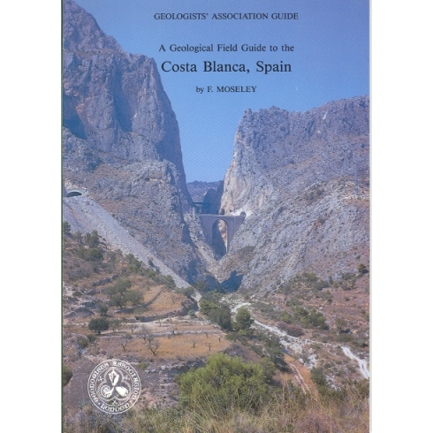
Costa Blanca, Spain (1990)
An attractive mountainous terrain of varied Triassic to Quaternary geology differing from that of northern Europe and characterised by impressive Alpine-movement (Betic) structures. Some 18 very well illustrated and explained excursions in the vicinity of Benidorm and Alicante give an insight into the fascinating geological history of the area. Car transport is required.
2 in stock
East Midlands (2003)
Compiled by Albert Horton & Peter Gutteridge.
A major guide to the exposures of highly significant Precambrian, Carboniferous and Permo-Triassic through to Jurassic rocks of the East Midlands. Eleven itineraries (or excursions) of variable length detail the geology of each location, such as the rock types, the palaeoenvironmental interpretation and fossil content, the structure, geomorphology and mineralization . The areas covered extend from Charnwood Forest (Precambrian) to Wirksworth, Ashover, Ecclesbourne, Alport and Holymoorside in Derbyshire (Carboniferous) to Nottingham, Vale of Belvoir and South Lincolnshire, Leicestershire and Northamptonshire (Permian-Jurassic), many illustrated with colour photographs and diagrams.’
Out of stock
Eastern and Central Jamaica (1995)
by S.K.Donovan, T.A.Jackson, H.L.Dixon & E.N.Doyle
The oldest rocks in Jamaica are Cretaceous with the succession dominated by andesitic volcanic rocks with associated limestones representing an island arc system. The principal features of the geology of the island are described followed by ten itineraries which illustrate at outcrop the variety of the Cretaceous to Recent rocks including granite-like intrusions, volcanic lavas and altered ashes, mineral deposits, highly fossiliferous limestones and shales, and economically important bauxites. Car hire is recommended.
1 in stock
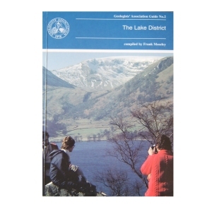
Geology of the Lake District (1990)
compiled by Frank Moseley
Although the aim was to cover equally each area in the region, the complex nature of the region meant that some selection was inevitable. Each of the 25 itineraries is produced by an expert on the ground. The guide is designed to be used with topographical maps. The importance of observing the code of geological fieldwork is emphasised.
1 in stock
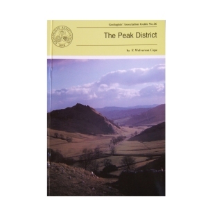
The Peak District (1999) by F. Wolverson Cope
This is the third edition of this Guide and although there have been changes in classification etc. the general exposures are as good as they used to be. Most of the itineraries in this Guide have specific locations marked on accompanying sketch maps. Where greater precision is needed grid references are given.
Out of stock
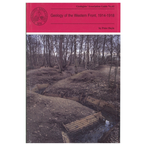
Geology of the Western Front (1999)
by Peter Doyle
Geology and topography of the battlefields of France and Belgium had an important role in determining the character and the outcome of many of the most famous battles. This Guide is intended for all people with an interest in the British sector of the Western Front and, although geological terms are included, they are kept to a minimum and those that are deemed essential are included in a glossary at the end of the guide.
2 in stock
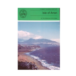
Isle of Arran (1989) 2nd Edition by W.S.McKerrow and F.B.Atkins
The large variety of igneous and sedimentary rocks to be seen on the excellent coastal and island exposures, perhaps excelling any other area in the world has made the Isle of Arran so popular with geologists. The guide has been written assuming a very basic knowledge of geology on the part of the reader. After an extensive introduction to the geology of Arran the six excursions are described together with geological sketch maps. Each excursion can be carried out in seven to eight hours with an indication of a suitable lunch stop!
1 in stock
Isle of Man (2001) The Geology of the Isle of Man by Trevor D. Ford, David Burnett and David Quirk
The aim of the guide is to help professional and interested amateur geologists to investigate the rocks themselves and to put them in a modern scientific context. The guide provides an overview of the geology of the island and describes excursions to specific locations with a wide variety of geological features, mostly easily accessible on the foreshore.
4 in stock
Geology of the Isle of Wight(1998)
by Allan Insole, Brian Daley & Andy Gale
The purpose of this field guide is twofold: to provide a general introduction to the island’s geology and secondly to provide descriptive accounts of locations which can be visited to see this geology. The island is an importance source of fossils and has some of the richest collecting locations in Britain. It is commonly known as the ‘Dinosaur Island’.
1 in stock
Jersey (2003)
The Geology of Jersey, Channel Islands by A.C.Bishop, D.H.Keen, S.Salmon & J.T.Renouf
The rocks of the island are well displayed in coastal exposures, and the clean, wave polished surfaces are ideal for studying rock relationships and textures. The 9 itineraries cover most of the island’s geology – metamorphic and igneous rocks, plutonic intrusions, etc. of the Cadomian Orogeny – in coastal sections. Emphasis is placed on safety (state of the tides) and whether the sites are RAMSAR (Wetland) sites with restrictions.
1 in stock
Origins of Stratigraphy (2004)
A historical guidebook to the early days of stratigraphical geology in the Bath area, illustrated by many diagrams and photographs of locations associated with the working lives of John Strachey and William Smith.
2 in stock
Southern Cyprus (1994) by Trevor Greensmith
This Guide is to some of the more accessible outcrops in Southern Cyprus, including those of the world famous Troodos (Troodhos) Range. It is designed to give the questing novice in the subject of Geology a glimpse of the wide variety of igneous, sedimentary and occasional metamorphic rock types and rock structures which constitute this section of the island and explain the significance of what can be seen at any given locality. Many technical names have had to be introduced which are explained in the glossary.
2 in stock
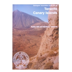
Tenerife Canary Islands (2003)
A guide to the superbly exposed volcanic geology of the island which is dominated by the sulphurous cone of Mount Teide and associated Canadas caldera. Eight itineraries, some involving rough walking, enable visitors to view most aspects of the evolution of the island through the last 12 million years or so. The various expressions of volcanicity, are clearly defined in a glossary.’
Out of stock
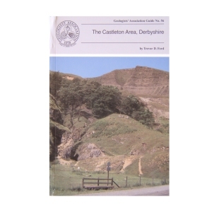
The Castleton Area, Derbyshire (1996)
by Trevor Ford
This Guide sets out to summarise both geological and geomorphological features (including caves) to be seen in a set of four day’s walk around the Castleton area. The itineraries are intended to be taken on foot although some of the itineraries can be shortened by meeting transport en route. Much of the land crossed is in the care of the National Trust and much is scheduled as an SSSI. Although hammering is not allowed, much detail of the limestone lithofacies can be seen on weathered surfaces and in scree (where fossils can also be seen)
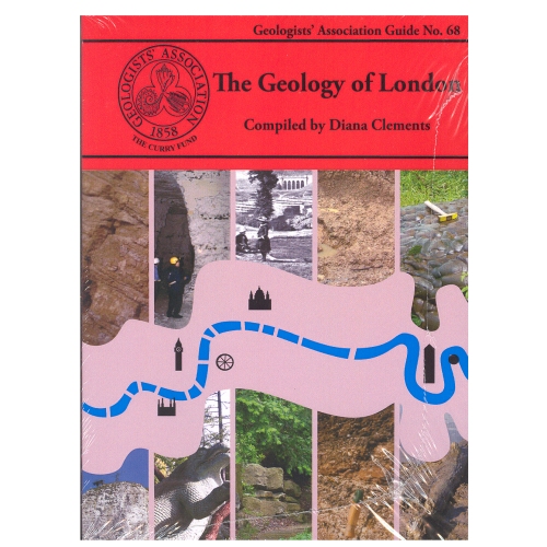
The Geology of London
Compiled by Diana Clements (2010)
The new Guide to the Geology of London has chosen ten Itineraries from within the M25 to provide snapshots of the rocks underlying London. It aims to cover all the rocks types that outcrop within the area. It describes several SSSIs including Harefield, Charlton, Abbey Wood, and Quaternary sites in east London. Chalk is described from the magnificent quarry at Riddlesdown, Croydon as well as underground at Chislehurst and Pinner. Geomorphology walks and the Geological Illustrations of Crystal Palace Park are also described. It is a multi-authored guide drawing on the best authority for the locations chosen.
2 in stock
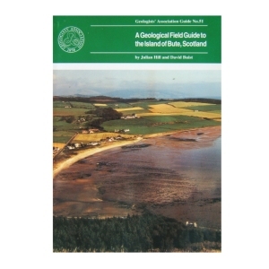
Isle of Bute, Scotland (1995)
A Geological Field Guide to the the Island of Bute, Scotland by J.Hill & C. Buist
This guide, which has been written for the intereted amateur (and to some extent, professional) geologist, has been planned in two parts, a general introductory section on the island’s geology and scenery, followed by a number of itineraries where intereting geological and topological features are displayed. Maps and drawings illustrate the text and assist in explaining some fundamental principles of geology.
3 in stock