- “Bringing The Past, Into the Future”
- +44 (0) 1204 388754

£17.00 ex VAT
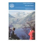
Geology of the Lake District (1990)
compiled by Frank Moseley
Although the aim was to cover equally each area in the region, the complex nature of the region meant that some selection was inevitable. Each of the 25 itineraries is produced by an expert on the ground. The guide is designed to be used with topographical maps. The importance of observing the code of geological fieldwork is emphasised.
| Weight | 400 g |
|---|
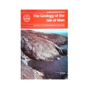
Isle of Man (2001) The Geology of the Isle of Man by Trevor D. Ford, David Burnett and David Quirk
The aim of the guide is to help professional and interested amateur geologists to investigate the rocks themselves and to put them in a modern scientific context. The guide provides an overview of the geology of the island and describes excursions to specific locations with a wide variety of geological features, mostly easily accessible on the foreshore.
4 in stock
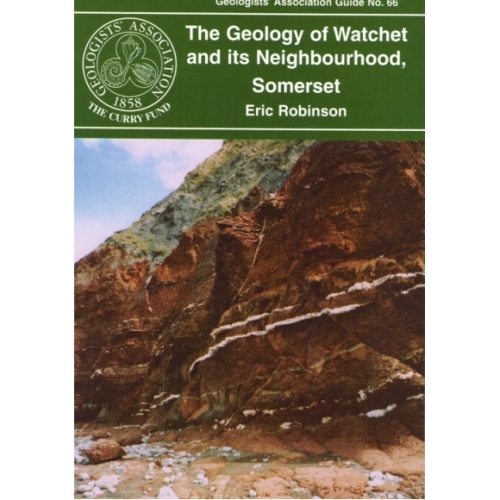
Watchet and its neighbourhood, Somerset (2006)
A short guide, very suitable for beginners, to the Devonian, New Red Sandstone and Jurassic (Lias) rocks in the vicinity of Watchet. Relatively gentle walks along the foreshore and inland to view exposures, plus the added bonus of examining the usage of local and imported rocks for walls, housing and bridges.
Out of stock
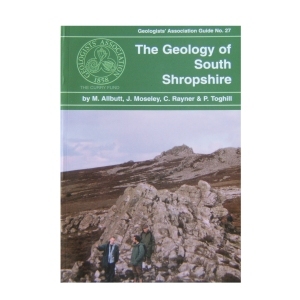
27. Geology of South Shropshire (2002) by M.Allbutt, J.Moseley, C. Rayner & P. Toghill
This new guide has itineraries grounded in a well understood and documented stratigraphy that spans all periods from Pre-Cambrian through to Triassic and covers lithologies from volcanic tuffs and lavas through fossiliferous marine and fluviatile sediments to aeolian sandstones. The authors hope to share their thrill of finding that the older classic areas of Shropshire still have the capacity to inspire.
1 in stock
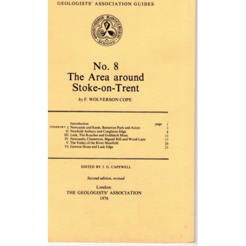
An informative guide to the geology of the Stoke – On – Trent Area, published by the Geologists Association. Includes small diagrams and maps.
Out of stock
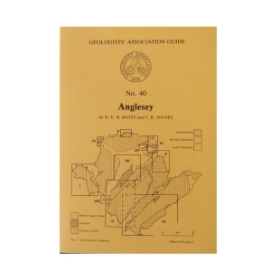
Anglesey (1981) NEW EDITION
by D.E.B.Bates & J.R.Davies
Anglesey contains a fascinating variety of rock types and geological structures, best exposed in a magnificent coastline ‘Hard rock’ and structural geology interests are catered for in Precambrian and Ordovician areas, palaeontology in the Ordovician and Carboniferous and sedimentology in all the systems. The ten itineraries are roughly in stratigraphical order but each itinerary covers a particular area. An indication of the approximate length of each itinerary and their dependence on tides.
Out of stock
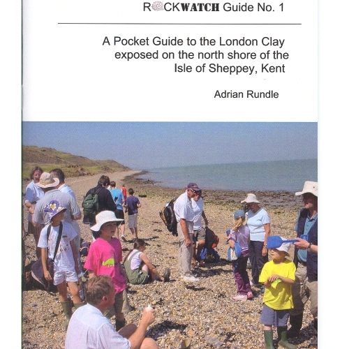
Rockwatch Guide No 1, to the London Clay exposed on the North Shore of The Isle of Sheppey, Kent. The guide is highly informative of the area and also contains clear diagrams to aid the text.
4 in stock
The Chalk of Sussex and Kent (1997)
A comprehensive series of 8 inland and coastal itineraries extending from Lewes and the Newhaven-Brighton area , via Beachy Head, Folkestone and The White Cliffs of Dover, to Thanet illustrating the variable lithology and stratigraphy of England’s best-known and world-famous flint-bearing fossiliferous rock type. Examine the evidence for structural controls on chalk deposition, rhythmic sedimentation and transgressive and regressive events in this well-illustrated guide in which safety factors are fully considered.’
Out of stock
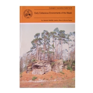
Early Cretaceous Environments of the Weald (1996)
by Alastair Ruffell, Andrew Ross & Kevin Taylor
In order for the Guide not to become out-of-date it concentrates on exposures that are likely to remain in their present state for some time, thus some abandoned sites are omitted. The interested geologist will find the locations easily, observe the main features with no trouble, and be able to do this for some years to come.
Out of stock
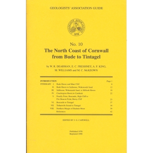
North Coast of Cornwall (1970)
The North Coast of Cornwall from Bude to Tintagel (1970)
by W.R.Dearman, E.C.Freshney, A.F.King, M.Williams and M.C.McKeown
The itineraries described in this guide have been designed to illustrate the stratigraphy and structure of a long coastal tract of Devonian and Carboniferous rocks. As some aspects of the coastal structures are to be related to granite intrusion, one itinerary deals with the northern part of the Bodmin Moor granite and its envelope.
Out of stock
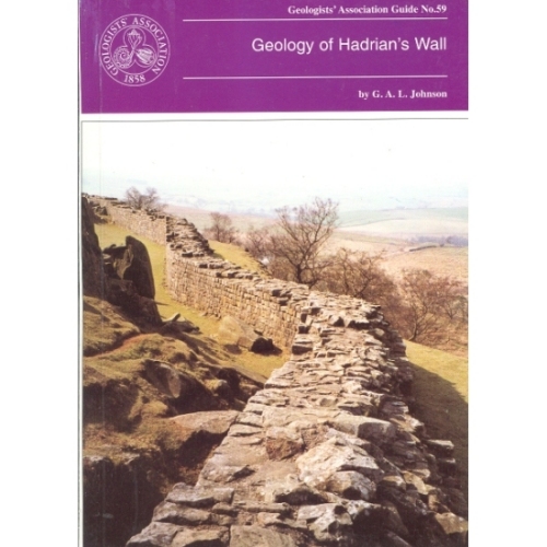
Hadrian’s Wall (1997)
Geology of Hadrian’s Wall by G.A.L.Johnson
The geology of Hadrian’s Wall falls naturally into three sectors: in the East the wall is over Upper Carboniferous Coal Measures and Millstone Grit; the Central Section is underlain by Lower Carboniferous intruded by the Great Whin Sill and in the Western sector the Wall crosses the New Red Sandstone. Glacial drift is widespread. All three sectors are described with specific sites in detail.
Out of stock
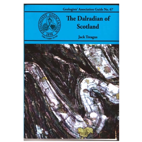
Dalradian of Scotland
Jack Treagus (2009)
The Dalradian Supergroup of mainland Scotland occupies most of the area generally known as the Grampian Highlands, geographically bounded by the Great Glen Fault to the north and the Highland Border Fault to the south. The Dalradian of Scotland offers the greatest variety of metamorphic rocks to be found in the British Isles. There are sedimentary rocks ranging in composition from limestones and mudstones to conglomerates, often with beautifully preserved sedimentary structures providing evidence of the depositional environments.
Out of stock
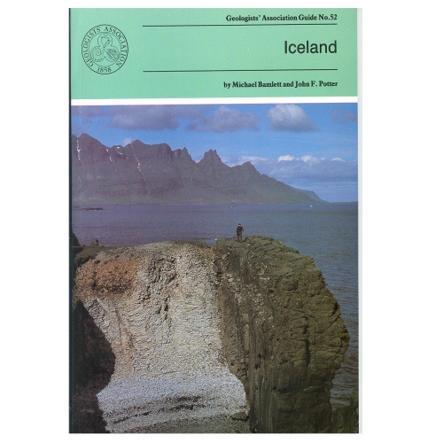
During the last 16 million years (up to recent times) igneous rocks with a variety of compositions have been extruded and then moved E or W of the rift valley which marks the central line of the Mid-Atlantic Ridge The ice sheets and their associated glaciers formed by the accumulation of snow over hundreds of years, occupy 11% of Iceland. The pressure on water trapped in geothermally heated cavities close to the land surface is occasionally relieved generating Geysers. The itineraries in the Guide provide a representative selection of sites of the above.
Out of stock

Reviews
There are no reviews yet.