- “Bringing The Past, Into the Future”
- +44 (0) 1204 388754
£15.00 ex VAT
The Coastal Landforms of West Dorset (1992)
A series of itineraries illustrating the geology and denudational history along the coastline of West Dorset. This most beautiful coast is world famous for its spectacular recurrent landslides and the causes of these are fully explored together with their effects on shingle movement at beach level, the latter and best known being Chesil Beach.
Out of stock
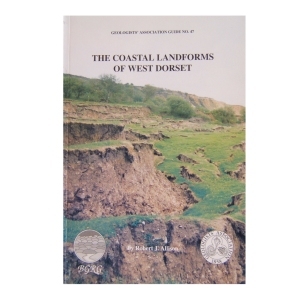
The Coastal Landforms of West Dorset (1992)
A series of itineraries illustrating the geology and denudational history along the coastline of West Dorset. This most beautiful coast is world famous for its spectacular recurrent landslides and the causes of these are fully explored together with their effects on shingle movement at beach level, the latter and best known being Chesil Beach.
| Weight | 250 g |
|---|
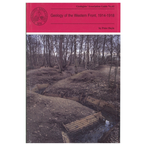
Geology of the Western Front (1999)
by Peter Doyle
Geology and topography of the battlefields of France and Belgium had an important role in determining the character and the outcome of many of the most famous battles. This Guide is intended for all people with an interest in the British sector of the Western Front and, although geological terms are included, they are kept to a minimum and those that are deemed essential are included in a glossary at the end of the guide.
2 in stock
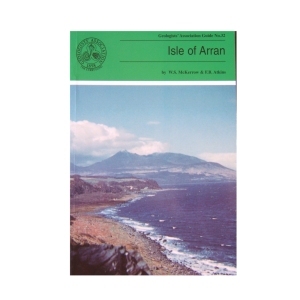
Isle of Arran (1989) 2nd Edition by W.S.McKerrow and F.B.Atkins
The large variety of igneous and sedimentary rocks to be seen on the excellent coastal and island exposures, perhaps excelling any other area in the world has made the Isle of Arran so popular with geologists. The guide has been written assuming a very basic knowledge of geology on the part of the reader. After an extensive introduction to the geology of Arran the six excursions are described together with geological sketch maps. Each excursion can be carried out in seven to eight hours with an indication of a suitable lunch stop!
1 in stock
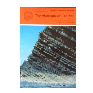
The Aberystwyth District (1995)
compiled by M.R.Dobson
The Aberystwyth Grits and Borth Mudstones (Silurian) are magnificently exposed in accessible cliffs along the coastline of Cardigan Bay and are world-famous as classic examples of turbidity current deposition. But the region is also known for the variety of its glacial landforms and modern sedimentary environments . Nineteen itineraries are described in detail, the first eight dealing with the variations in the turbidite fan succession between New Quay in th south and Harp Rock in the north. The rest cover the Dovey Estuary, the Quaternary and solid geology of Cardigan Bay and the Plynlimon area. A glossary is included.
2 in stock
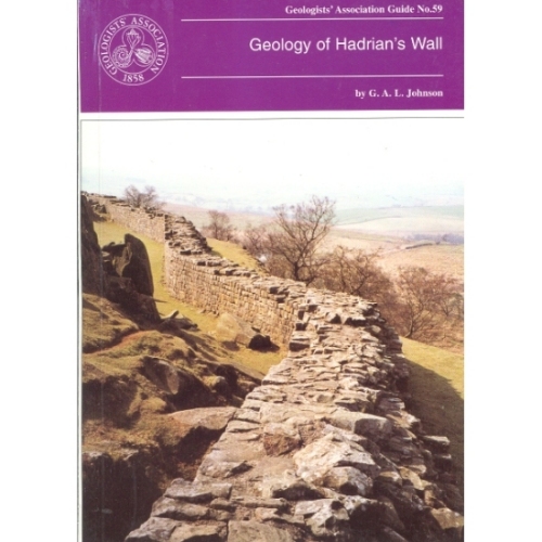
Hadrian’s Wall (1997)
Geology of Hadrian’s Wall by G.A.L.Johnson
The geology of Hadrian’s Wall falls naturally into three sectors: in the East the wall is over Upper Carboniferous Coal Measures and Millstone Grit; the Central Section is underlain by Lower Carboniferous intruded by the Great Whin Sill and in the Western sector the Wall crosses the New Red Sandstone. Glacial drift is widespread. All three sectors are described with specific sites in detail.
Out of stock
Geology of the Isle of Wight(1998)
by Allan Insole, Brian Daley & Andy Gale
The purpose of this field guide is twofold: to provide a general introduction to the island’s geology and secondly to provide descriptive accounts of locations which can be visited to see this geology. The island is an importance source of fossils and has some of the richest collecting locations in Britain. It is commonly known as the ‘Dinosaur Island’.
1 in stock
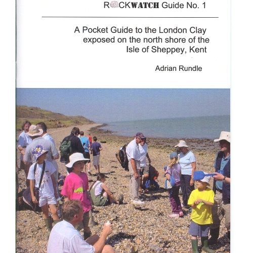
Rockwatch Guide No 1, to the London Clay exposed on the North Shore of The Isle of Sheppey, Kent. The guide is highly informative of the area and also contains clear diagrams to aid the text.
4 in stock
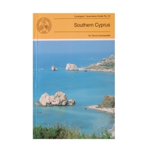
Southern Cyprus (1994) by Trevor Greensmith
This Guide is to some of the more accessible outcrops in Southern Cyprus, including those of the world famous Troodos (Troodhos) Range. It is designed to give the questing novice in the subject of Geology a glimpse of the wide variety of igneous, sedimentary and occasional metamorphic rock types and rock structures which constitute this section of the island and explain the significance of what can be seen at any given locality. Many technical names have had to be introduced which are explained in the glossary.
2 in stock
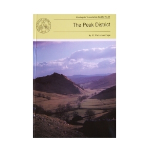
The Peak District (1999) by F. Wolverson Cope
This is the third edition of this Guide and although there have been changes in classification etc. the general exposures are as good as they used to be. Most of the itineraries in this Guide have specific locations marked on accompanying sketch maps. Where greater precision is needed grid references are given.
Out of stock
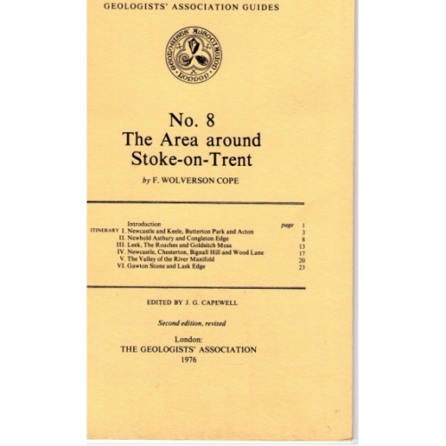
An informative guide to the geology of the Stoke – On – Trent Area, published by the Geologists Association. Includes small diagrams and maps.
Out of stock
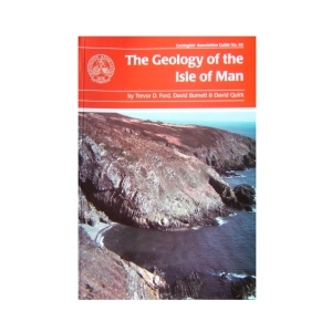
Isle of Man (2001) The Geology of the Isle of Man by Trevor D. Ford, David Burnett and David Quirk
The aim of the guide is to help professional and interested amateur geologists to investigate the rocks themselves and to put them in a modern scientific context. The guide provides an overview of the geology of the island and describes excursions to specific locations with a wide variety of geological features, mostly easily accessible on the foreshore.
4 in stock
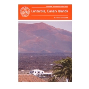
Lanzarote, Canary Islands (2000)
by Trevor Greensmith
This guide is intended for those who are intrigued by the various manifestations of volcanicity and who wish to experience first hand the consequences of such without having to trek long distances in dangerous terrain. All locations in this guide are either roadside or involve walking short distances along tracks.
Out of stock
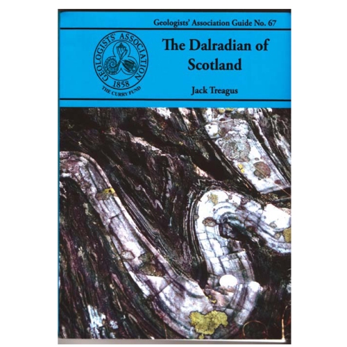
Dalradian of Scotland
Jack Treagus (2009)
The Dalradian Supergroup of mainland Scotland occupies most of the area generally known as the Grampian Highlands, geographically bounded by the Great Glen Fault to the north and the Highland Border Fault to the south. The Dalradian of Scotland offers the greatest variety of metamorphic rocks to be found in the British Isles. There are sedimentary rocks ranging in composition from limestones and mudstones to conglomerates, often with beautifully preserved sedimentary structures providing evidence of the depositional environments.
Out of stock

Reviews
There are no reviews yet.