- “Bringing The Past, Into the Future”
- +44 (0) 1204 388754
£15.00 ex VAT
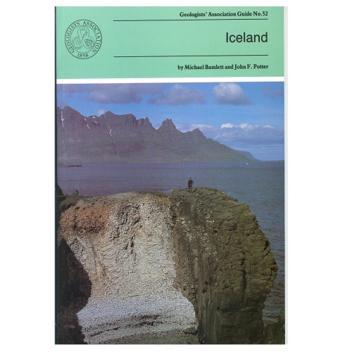
During the last 16 million years (up to recent times) igneous rocks with a variety of compositions have been extruded and then moved E or W of the rift valley which marks the central line of the Mid-Atlantic Ridge The ice sheets and their associated glaciers formed by the accumulation of snow over hundreds of years, occupy 11% of Iceland. The pressure on water trapped in geothermally heated cavities close to the land surface is occasionally relieved generating Geysers. The itineraries in the Guide provide a representative selection of sites of the above.
Out of stock
Iceland (1994)
by M. Bamlett and J. F. Potter
During the last 16 million years (up to recent times) igneous rocks with a variety of compositions have been extruded and then moved E or W of the rift valley which marks the central line of the Mid-Atlantic Ridge The ice sheets and their associated glaciers formed by the accumulation of snow over hundreds of years, occupy 11% of Iceland. The pressure on water trapped in geothermally heated cavities close to the land surface is occasionally relieved generating Geysers. The itineraries in the Guide provide a representative selection of sites of the above.
| Weight | 150 g |
|---|
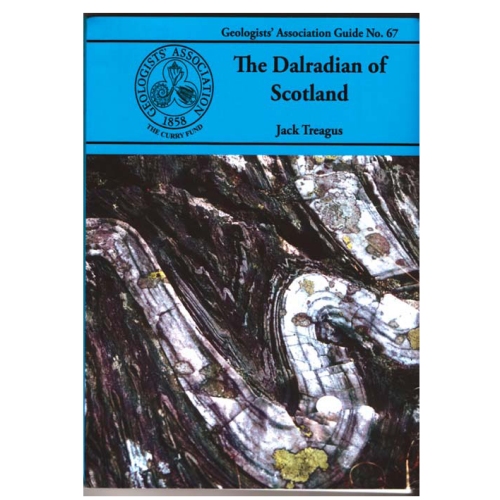
Dalradian of Scotland
Jack Treagus (2009)
The Dalradian Supergroup of mainland Scotland occupies most of the area generally known as the Grampian Highlands, geographically bounded by the Great Glen Fault to the north and the Highland Border Fault to the south. The Dalradian of Scotland offers the greatest variety of metamorphic rocks to be found in the British Isles. There are sedimentary rocks ranging in composition from limestones and mudstones to conglomerates, often with beautifully preserved sedimentary structures providing evidence of the depositional environments.
Out of stock
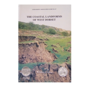
The Coastal Landforms of West Dorset (1992)
A series of itineraries illustrating the geology and denudational history along the coastline of West Dorset. This most beautiful coast is world famous for its spectacular recurrent landslides and the causes of these are fully explored together with their effects on shingle movement at beach level, the latter and best known being Chesil Beach.
Out of stock
Geology of the Isle of Wight(1998)
by Allan Insole, Brian Daley & Andy Gale
The purpose of this field guide is twofold: to provide a general introduction to the island’s geology and secondly to provide descriptive accounts of locations which can be visited to see this geology. The island is an importance source of fossils and has some of the richest collecting locations in Britain. It is commonly known as the ‘Dinosaur Island’.
1 in stock
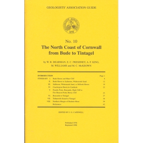
North Coast of Cornwall (1970)
The North Coast of Cornwall from Bude to Tintagel (1970)
by W.R.Dearman, E.C.Freshney, A.F.King, M.Williams and M.C.McKeown
The itineraries described in this guide have been designed to illustrate the stratigraphy and structure of a long coastal tract of Devonian and Carboniferous rocks. As some aspects of the coastal structures are to be related to granite intrusion, one itinerary deals with the northern part of the Bodmin Moor granite and its envelope.
Out of stock
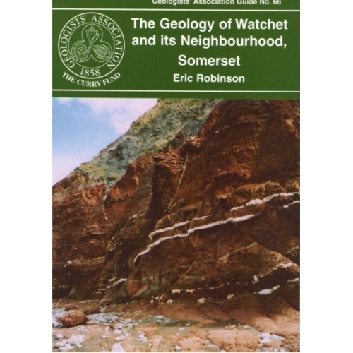
Watchet and its neighbourhood, Somerset (2006)
A short guide, very suitable for beginners, to the Devonian, New Red Sandstone and Jurassic (Lias) rocks in the vicinity of Watchet. Relatively gentle walks along the foreshore and inland to view exposures, plus the added bonus of examining the usage of local and imported rocks for walls, housing and bridges.
Out of stock
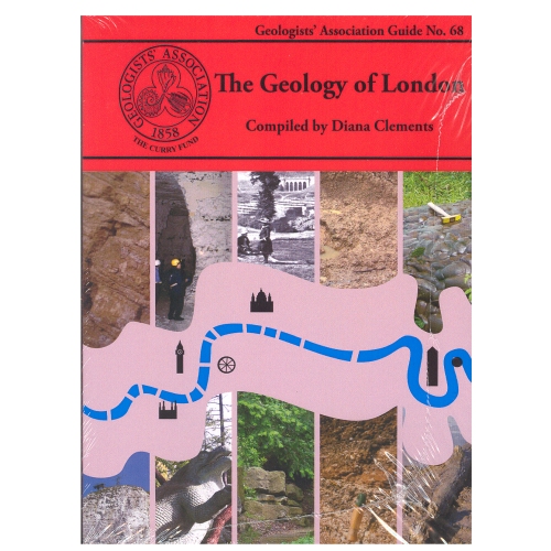
The Geology of London
Compiled by Diana Clements (2010)
The new Guide to the Geology of London has chosen ten Itineraries from within the M25 to provide snapshots of the rocks underlying London. It aims to cover all the rocks types that outcrop within the area. It describes several SSSIs including Harefield, Charlton, Abbey Wood, and Quaternary sites in east London. Chalk is described from the magnificent quarry at Riddlesdown, Croydon as well as underground at Chislehurst and Pinner. Geomorphology walks and the Geological Illustrations of Crystal Palace Park are also described. It is a multi-authored guide drawing on the best authority for the locations chosen.
2 in stock
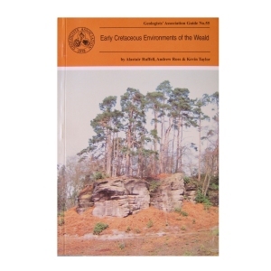
Early Cretaceous Environments of the Weald (1996)
by Alastair Ruffell, Andrew Ross & Kevin Taylor
In order for the Guide not to become out-of-date it concentrates on exposures that are likely to remain in their present state for some time, thus some abandoned sites are omitted. The interested geologist will find the locations easily, observe the main features with no trouble, and be able to do this for some years to come.
Out of stock
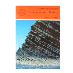
The Aberystwyth District (1995)
compiled by M.R.Dobson
The Aberystwyth Grits and Borth Mudstones (Silurian) are magnificently exposed in accessible cliffs along the coastline of Cardigan Bay and are world-famous as classic examples of turbidity current deposition. But the region is also known for the variety of its glacial landforms and modern sedimentary environments . Nineteen itineraries are described in detail, the first eight dealing with the variations in the turbidite fan succession between New Quay in th south and Harp Rock in the north. The rest cover the Dovey Estuary, the Quaternary and solid geology of Cardigan Bay and the Plynlimon area. A glossary is included.
2 in stock
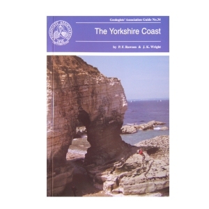
The Yorkshire Coast (1992) by P.F.Rawson & J.K.Wright
The Yorkshire coast provides magnificent exposures of Jurassic and Cretaceous rocks. The coastal area is now firmly established as a standard for comparison with both the less well exposed areas inland and also for the offshore North Sea basins. Although there has been serious overcollecting from many of the best known coastal sites , excellent specimens can be picked up loose at many of the localities described.
Out of stock
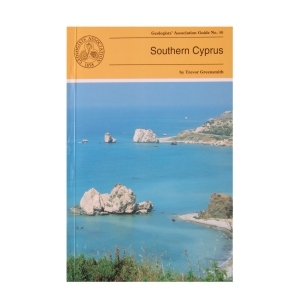
Southern Cyprus (1994) by Trevor Greensmith
This Guide is to some of the more accessible outcrops in Southern Cyprus, including those of the world famous Troodos (Troodhos) Range. It is designed to give the questing novice in the subject of Geology a glimpse of the wide variety of igneous, sedimentary and occasional metamorphic rock types and rock structures which constitute this section of the island and explain the significance of what can be seen at any given locality. Many technical names have had to be introduced which are explained in the glossary.
2 in stock
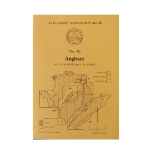
Anglesey (1981) NEW EDITION
by D.E.B.Bates & J.R.Davies
Anglesey contains a fascinating variety of rock types and geological structures, best exposed in a magnificent coastline ‘Hard rock’ and structural geology interests are catered for in Precambrian and Ordovician areas, palaeontology in the Ordovician and Carboniferous and sedimentology in all the systems. The ten itineraries are roughly in stratigraphical order but each itinerary covers a particular area. An indication of the approximate length of each itinerary and their dependence on tides.
Out of stock
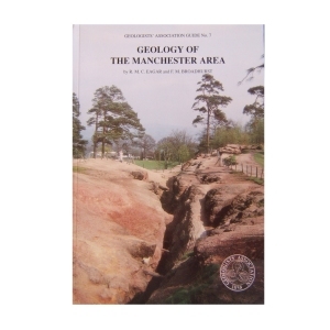
Geology of the Manchester Area (1991)
by R.M.C.Eagar & F.M.Broadhurst
The rocks exposed in the Manchester area range in age from Dinantian (Lower Carboniferous) to Triassic and superficial coverings of Pleistocene and Recent sediments. Of the sixteen itineraries described, two are devoted to Dinantian, five to the Silurian, four to the Triassic and three to the Pleistocene and Recent. The last two intineraries are concerned with mineralisation and mining and with the building stones of Manchester
3 in stock
Reviews
There are no reviews yet.