- “Bringing The Past, Into the Future”
- +44 (0) 1204 388754
£15.00 ex VAT
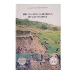
The Coastal Landforms of West Dorset (1992)
A series of itineraries illustrating the geology and denudational history along the coastline of West Dorset. This most beautiful coast is world famous for its spectacular recurrent landslides and the causes of these are fully explored together with their effects on shingle movement at beach level, the latter and best known being Chesil Beach.
Out of stock
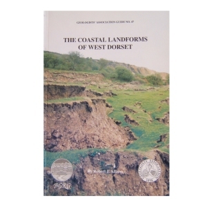
The Coastal Landforms of West Dorset (1992)
A series of itineraries illustrating the geology and denudational history along the coastline of West Dorset. This most beautiful coast is world famous for its spectacular recurrent landslides and the causes of these are fully explored together with their effects on shingle movement at beach level, the latter and best known being Chesil Beach.
| Weight | 250 g |
|---|
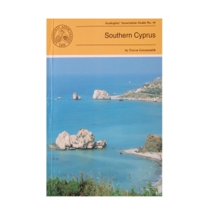
Southern Cyprus (1994) by Trevor Greensmith
This Guide is to some of the more accessible outcrops in Southern Cyprus, including those of the world famous Troodos (Troodhos) Range. It is designed to give the questing novice in the subject of Geology a glimpse of the wide variety of igneous, sedimentary and occasional metamorphic rock types and rock structures which constitute this section of the island and explain the significance of what can be seen at any given locality. Many technical names have had to be introduced which are explained in the glossary.
2 in stock
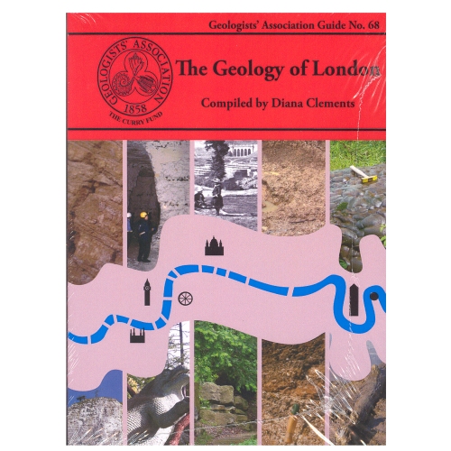
The Geology of London
Compiled by Diana Clements (2010)
The new Guide to the Geology of London has chosen ten Itineraries from within the M25 to provide snapshots of the rocks underlying London. It aims to cover all the rocks types that outcrop within the area. It describes several SSSIs including Harefield, Charlton, Abbey Wood, and Quaternary sites in east London. Chalk is described from the magnificent quarry at Riddlesdown, Croydon as well as underground at Chislehurst and Pinner. Geomorphology walks and the Geological Illustrations of Crystal Palace Park are also described. It is a multi-authored guide drawing on the best authority for the locations chosen.
2 in stock
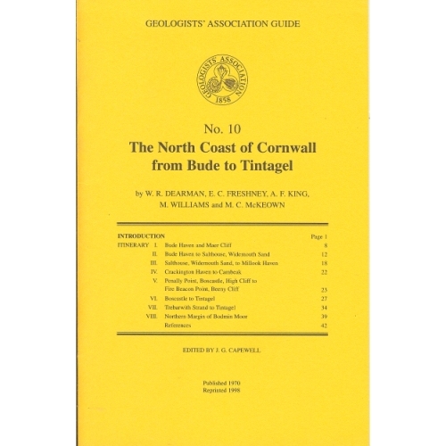
North Coast of Cornwall (1970)
The North Coast of Cornwall from Bude to Tintagel (1970)
by W.R.Dearman, E.C.Freshney, A.F.King, M.Williams and M.C.McKeown
The itineraries described in this guide have been designed to illustrate the stratigraphy and structure of a long coastal tract of Devonian and Carboniferous rocks. As some aspects of the coastal structures are to be related to granite intrusion, one itinerary deals with the northern part of the Bodmin Moor granite and its envelope.
Out of stock
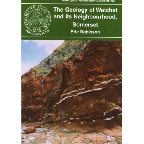
Watchet and its neighbourhood, Somerset (2006)
A short guide, very suitable for beginners, to the Devonian, New Red Sandstone and Jurassic (Lias) rocks in the vicinity of Watchet. Relatively gentle walks along the foreshore and inland to view exposures, plus the added bonus of examining the usage of local and imported rocks for walls, housing and bridges.
Out of stock
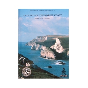
Geology of the Dorset Coast (1993)
by Michael House
The guide aims to provide a general introduction to what may be seen and where in this coast of unsurpassed geological interest. Most emphasis is on the Jurassic rocks, rather less on Cretaceous and Tertiary which are seen as well or better elsewhere. An introductory section on Sedimentology and Palaeontology has been added by request to introduce terms to the general reader.
Out of stock
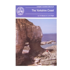
The Yorkshire Coast (1992) by P.F.Rawson & J.K.Wright
The Yorkshire coast provides magnificent exposures of Jurassic and Cretaceous rocks. The coastal area is now firmly established as a standard for comparison with both the less well exposed areas inland and also for the offshore North Sea basins. Although there has been serious overcollecting from many of the best known coastal sites , excellent specimens can be picked up loose at many of the localities described.
Out of stock
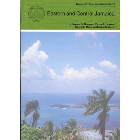
Eastern and Central Jamaica (1995)
by S.K.Donovan, T.A.Jackson, H.L.Dixon & E.N.Doyle
The oldest rocks in Jamaica are Cretaceous with the succession dominated by andesitic volcanic rocks with associated limestones representing an island arc system. The principal features of the geology of the island are described followed by ten itineraries which illustrate at outcrop the variety of the Cretaceous to Recent rocks including granite-like intrusions, volcanic lavas and altered ashes, mineral deposits, highly fossiliferous limestones and shales, and economically important bauxites. Car hire is recommended.
1 in stock
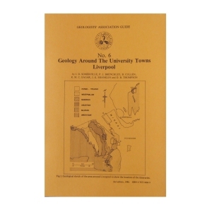
This popular guide will explain the geology of a major university town, Liverpool. A highly informative guide to a popular area.
Out of stock
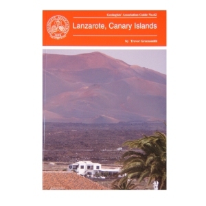
Lanzarote, Canary Islands (2000)
by Trevor Greensmith
This guide is intended for those who are intrigued by the various manifestations of volcanicity and who wish to experience first hand the consequences of such without having to trek long distances in dangerous terrain. All locations in this guide are either roadside or involve walking short distances along tracks.
Out of stock
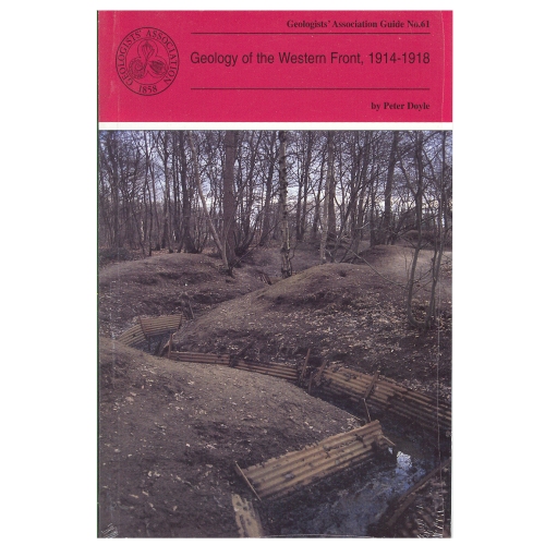
Geology of the Western Front (1999)
by Peter Doyle
Geology and topography of the battlefields of France and Belgium had an important role in determining the character and the outcome of many of the most famous battles. This Guide is intended for all people with an interest in the British sector of the Western Front and, although geological terms are included, they are kept to a minimum and those that are deemed essential are included in a glossary at the end of the guide.
2 in stock
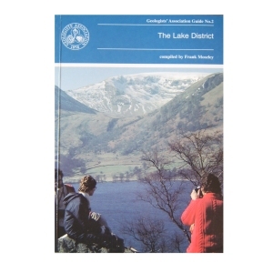
Geology of the Lake District (1990)
compiled by Frank Moseley
Although the aim was to cover equally each area in the region, the complex nature of the region meant that some selection was inevitable. Each of the 25 itineraries is produced by an expert on the ground. The guide is designed to be used with topographical maps. The importance of observing the code of geological fieldwork is emphasised.
1 in stock
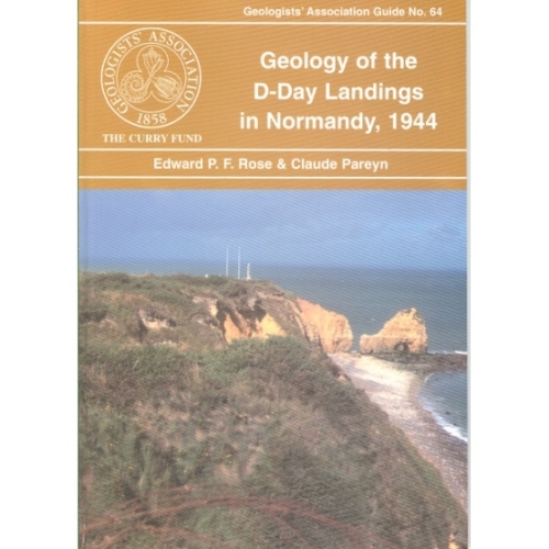
D-D Landings in Normandy, 1944 (2003)
The only British Guide to the geological controls on the D-Day landings in Normandy. The guide puts into context many of the reasons why the Normandy coast was selected for the invasion, reasons most people are, or were, unaware of. The four itineraries are based on examining the solid (mainly highly fossiliferous Jurassic strata) and superficial (such as Pleistocene loess) geology exposures associated with and adjacent to the main landing areas, Sword, Juno, Gold, Omaha and Utah Beaches, including considering them in terms of water supply, aggregate sources, airfield sites and cross-country movements. A glossary is incorporated.
Out of stock
Reviews
There are no reviews yet.