- “Bringing The Past, Into the Future”
- +44 (0) 1204 388754

£15.00 ex VAT
D-D Landings in Normandy, 1944 (2003)
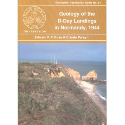
The only British Guide to the geological controls on the D-Day landings in Normandy. The guide puts into context many of the reasons why the Normandy coast was selected for the invasion, reasons most people are, or were, unaware of. The four itineraries are based on examining the solid (mainly highly fossiliferous Jurassic strata) and superficial (such as Pleistocene loess) geology exposures associated with and adjacent to the main landing areas, Sword, Juno, Gold, Omaha and Utah Beaches, including considering them in terms of water supply, aggregate sources, airfield sites and cross-country movements. A glossary is incorporated.
Out of stock
D-D Landings in Normandy, 1944 (2003)
The only British Guide to the geological controls on the D-Day landings in Normandy. The guide puts into context many of the reasons why the Normandy coast was selected for the invasion, reasons most people are, or were, unaware of. The four itineraries are based on examining the solid (mainly highly fossiliferous Jurassic strata) and superficial (such as Pleistocene loess) geology exposures associated with and adjacent to the main landing areas, Sword, Juno, Gold, Omaha and Utah Beaches, including considering them in terms of water supply, aggregate sources, airfield sites and cross-country movements. A glossary is incorporated.
| Weight | 250 g |
|---|
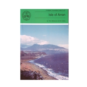
Isle of Arran (1989) 2nd Edition by W.S.McKerrow and F.B.Atkins
The large variety of igneous and sedimentary rocks to be seen on the excellent coastal and island exposures, perhaps excelling any other area in the world has made the Isle of Arran so popular with geologists. The guide has been written assuming a very basic knowledge of geology on the part of the reader. After an extensive introduction to the geology of Arran the six excursions are described together with geological sketch maps. Each excursion can be carried out in seven to eight hours with an indication of a suitable lunch stop!
1 in stock
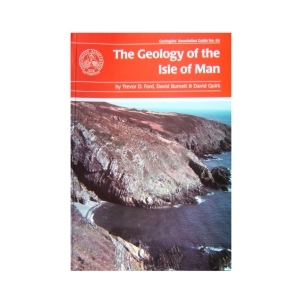
Isle of Man (2001) The Geology of the Isle of Man by Trevor D. Ford, David Burnett and David Quirk
The aim of the guide is to help professional and interested amateur geologists to investigate the rocks themselves and to put them in a modern scientific context. The guide provides an overview of the geology of the island and describes excursions to specific locations with a wide variety of geological features, mostly easily accessible on the foreshore.
4 in stock
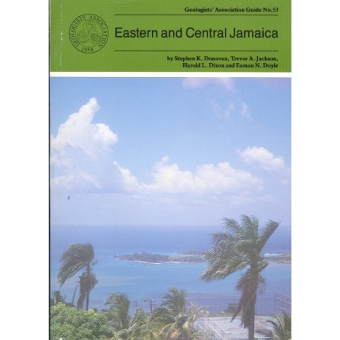
Eastern and Central Jamaica (1995)
by S.K.Donovan, T.A.Jackson, H.L.Dixon & E.N.Doyle
The oldest rocks in Jamaica are Cretaceous with the succession dominated by andesitic volcanic rocks with associated limestones representing an island arc system. The principal features of the geology of the island are described followed by ten itineraries which illustrate at outcrop the variety of the Cretaceous to Recent rocks including granite-like intrusions, volcanic lavas and altered ashes, mineral deposits, highly fossiliferous limestones and shales, and economically important bauxites. Car hire is recommended.
1 in stock
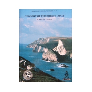
Geology of the Dorset Coast (1993)
by Michael House
The guide aims to provide a general introduction to what may be seen and where in this coast of unsurpassed geological interest. Most emphasis is on the Jurassic rocks, rather less on Cretaceous and Tertiary which are seen as well or better elsewhere. An introductory section on Sedimentology and Palaeontology has been added by request to introduce terms to the general reader.
Out of stock
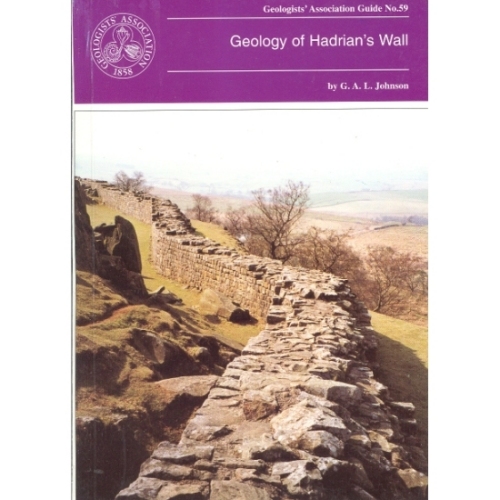
Hadrian’s Wall (1997)
Geology of Hadrian’s Wall by G.A.L.Johnson
The geology of Hadrian’s Wall falls naturally into three sectors: in the East the wall is over Upper Carboniferous Coal Measures and Millstone Grit; the Central Section is underlain by Lower Carboniferous intruded by the Great Whin Sill and in the Western sector the Wall crosses the New Red Sandstone. Glacial drift is widespread. All three sectors are described with specific sites in detail.
Out of stock
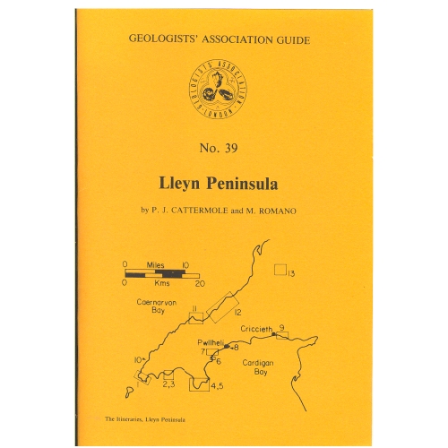
Lleyn Peninsula (1981)
by P.J.Cattermole and M.Romano
The Lleyn Peninsular is especially known for the numerous and splendid coastal exposures of Precambrian and Lower Palaeozoic rocks. Access is relatively easy to all the thirteen itineraries described in the Guide due to the small extent of the Lleyn. The major points of interest in each of the itineraries is described together with an indication of the time required and tidal considerations.
Out of stock
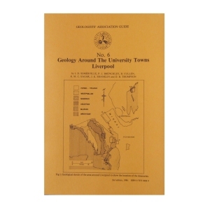
This popular guide will explain the geology of a major university town, Liverpool. A highly informative guide to a popular area.
Out of stock
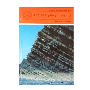
The Aberystwyth District (1995)
compiled by M.R.Dobson
The Aberystwyth Grits and Borth Mudstones (Silurian) are magnificently exposed in accessible cliffs along the coastline of Cardigan Bay and are world-famous as classic examples of turbidity current deposition. But the region is also known for the variety of its glacial landforms and modern sedimentary environments . Nineteen itineraries are described in detail, the first eight dealing with the variations in the turbidite fan succession between New Quay in th south and Harp Rock in the north. The rest cover the Dovey Estuary, the Quaternary and solid geology of Cardigan Bay and the Plynlimon area. A glossary is included.
2 in stock
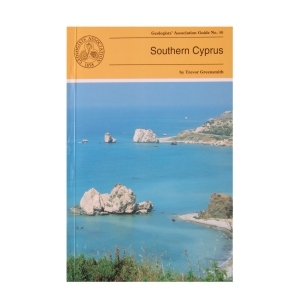
Southern Cyprus (1994) by Trevor Greensmith
This Guide is to some of the more accessible outcrops in Southern Cyprus, including those of the world famous Troodos (Troodhos) Range. It is designed to give the questing novice in the subject of Geology a glimpse of the wide variety of igneous, sedimentary and occasional metamorphic rock types and rock structures which constitute this section of the island and explain the significance of what can be seen at any given locality. Many technical names have had to be introduced which are explained in the glossary.
2 in stock
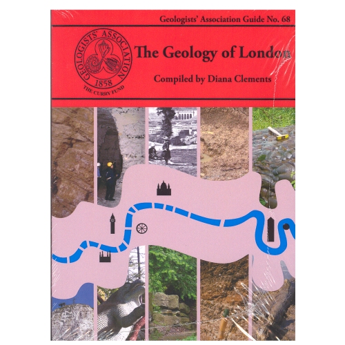
The Geology of London
Compiled by Diana Clements (2010)
The new Guide to the Geology of London has chosen ten Itineraries from within the M25 to provide snapshots of the rocks underlying London. It aims to cover all the rocks types that outcrop within the area. It describes several SSSIs including Harefield, Charlton, Abbey Wood, and Quaternary sites in east London. Chalk is described from the magnificent quarry at Riddlesdown, Croydon as well as underground at Chislehurst and Pinner. Geomorphology walks and the Geological Illustrations of Crystal Palace Park are also described. It is a multi-authored guide drawing on the best authority for the locations chosen.
2 in stock
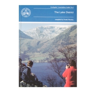
Geology of the Lake District (1990)
compiled by Frank Moseley
Although the aim was to cover equally each area in the region, the complex nature of the region meant that some selection was inevitable. Each of the 25 itineraries is produced by an expert on the ground. The guide is designed to be used with topographical maps. The importance of observing the code of geological fieldwork is emphasised.
1 in stock
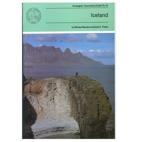
During the last 16 million years (up to recent times) igneous rocks with a variety of compositions have been extruded and then moved E or W of the rift valley which marks the central line of the Mid-Atlantic Ridge The ice sheets and their associated glaciers formed by the accumulation of snow over hundreds of years, occupy 11% of Iceland. The pressure on water trapped in geothermally heated cavities close to the land surface is occasionally relieved generating Geysers. The itineraries in the Guide provide a representative selection of sites of the above.
Out of stock
Reviews
There are no reviews yet.