- “Bringing The Past, Into the Future”
- +44 (0) 1204 388754

£15.00 ex VAT
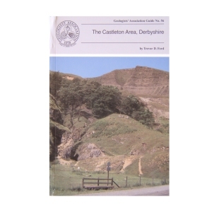
The Castleton Area, Derbyshire (1996)
by Trevor Ford
This Guide sets out to summarise both geological and geomorphological features (including caves) to be seen in a set of four day’s walk around the Castleton area. The itineraries are intended to be taken on foot although some of the itineraries can be shortened by meeting transport en route. Much of the land crossed is in the care of the National Trust and much is scheduled as an SSSI. Although hammering is not allowed, much detail of the limestone lithofacies can be seen on weathered surfaces and in scree (where fossils can also be seen)
| Weight | 250 g |
|---|
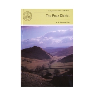
The Peak District (1999) by F. Wolverson Cope
This is the third edition of this Guide and although there have been changes in classification etc. the general exposures are as good as they used to be. Most of the itineraries in this Guide have specific locations marked on accompanying sketch maps. Where greater precision is needed grid references are given.
Out of stock
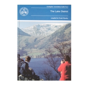
Geology of the Lake District (1990)
compiled by Frank Moseley
Although the aim was to cover equally each area in the region, the complex nature of the region meant that some selection was inevitable. Each of the 25 itineraries is produced by an expert on the ground. The guide is designed to be used with topographical maps. The importance of observing the code of geological fieldwork is emphasised.
1 in stock
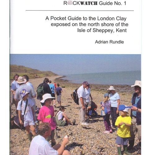
Rockwatch Guide No 1, to the London Clay exposed on the North Shore of The Isle of Sheppey, Kent. The guide is highly informative of the area and also contains clear diagrams to aid the text.
4 in stock
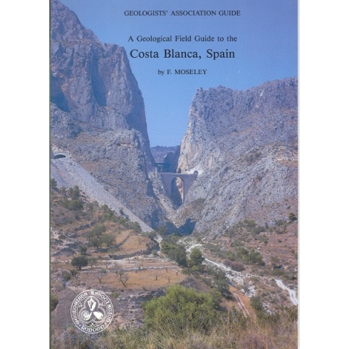
Costa Blanca, Spain (1990)
An attractive mountainous terrain of varied Triassic to Quaternary geology differing from that of northern Europe and characterised by impressive Alpine-movement (Betic) structures. Some 18 very well illustrated and explained excursions in the vicinity of Benidorm and Alicante give an insight into the fascinating geological history of the area. Car transport is required.
2 in stock
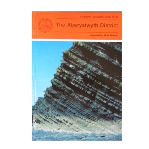
The Aberystwyth District (1995)
compiled by M.R.Dobson
The Aberystwyth Grits and Borth Mudstones (Silurian) are magnificently exposed in accessible cliffs along the coastline of Cardigan Bay and are world-famous as classic examples of turbidity current deposition. But the region is also known for the variety of its glacial landforms and modern sedimentary environments . Nineteen itineraries are described in detail, the first eight dealing with the variations in the turbidite fan succession between New Quay in th south and Harp Rock in the north. The rest cover the Dovey Estuary, the Quaternary and solid geology of Cardigan Bay and the Plynlimon area. A glossary is included.
2 in stock
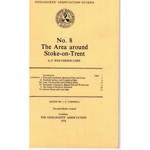
An informative guide to the geology of the Stoke – On – Trent Area, published by the Geologists Association. Includes small diagrams and maps.
Out of stock
The Geology of London
Compiled by Diana Clements (2010)
The new Guide to the Geology of London has chosen ten Itineraries from within the M25 to provide snapshots of the rocks underlying London. It aims to cover all the rocks types that outcrop within the area. It describes several SSSIs including Harefield, Charlton, Abbey Wood, and Quaternary sites in east London. Chalk is described from the magnificent quarry at Riddlesdown, Croydon as well as underground at Chislehurst and Pinner. Geomorphology walks and the Geological Illustrations of Crystal Palace Park are also described. It is a multi-authored guide drawing on the best authority for the locations chosen.
2 in stock
27. Geology of South Shropshire (2002) by M.Allbutt, J.Moseley, C. Rayner & P. Toghill
This new guide has itineraries grounded in a well understood and documented stratigraphy that spans all periods from Pre-Cambrian through to Triassic and covers lithologies from volcanic tuffs and lavas through fossiliferous marine and fluviatile sediments to aeolian sandstones. The authors hope to share their thrill of finding that the older classic areas of Shropshire still have the capacity to inspire.
1 in stock
Geology of the Isle of Wight(1998)
by Allan Insole, Brian Daley & Andy Gale
The purpose of this field guide is twofold: to provide a general introduction to the island’s geology and secondly to provide descriptive accounts of locations which can be visited to see this geology. The island is an importance source of fossils and has some of the richest collecting locations in Britain. It is commonly known as the ‘Dinosaur Island’.
1 in stock
Onny Valley, Shropshire, Geology Teaching Trail (1992)
by Peter Toghill
The Onny Valley, provides a classic and famous section through the Caradoc Series and along it are exposed all the characteristic rocks varieties containing their wellknown shelly faunas. The trail guide is meant to appeal to students, ndergraduates, as well as amateur geologists. The general public will find something to interest them too, as the trail follows a beautiful wooded valley, with plenty of wildlife to see.
Out of stock
Geology of the Western Front (1999)
by Peter Doyle
Geology and topography of the battlefields of France and Belgium had an important role in determining the character and the outcome of many of the most famous battles. This Guide is intended for all people with an interest in the British sector of the Western Front and, although geological terms are included, they are kept to a minimum and those that are deemed essential are included in a glossary at the end of the guide.
2 in stock
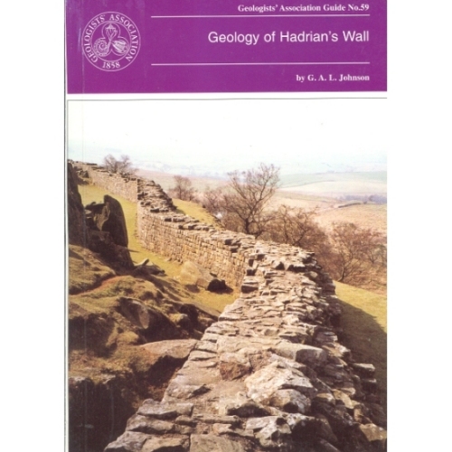
Hadrian’s Wall (1997)
Geology of Hadrian’s Wall by G.A.L.Johnson
The geology of Hadrian’s Wall falls naturally into three sectors: in the East the wall is over Upper Carboniferous Coal Measures and Millstone Grit; the Central Section is underlain by Lower Carboniferous intruded by the Great Whin Sill and in the Western sector the Wall crosses the New Red Sandstone. Glacial drift is widespread. All three sectors are described with specific sites in detail.
Out of stock

Reviews
There are no reviews yet.